
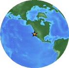
Magnitude 2.9 NORTHERN CALIFORNIA
Wednesday, July 11, 2007 at 14:15:01 UTC
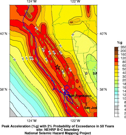
Seismic Hazard Map
Major Tectonic Boundaries: Subduction Zones -purple, Ridges -red and Transform Faults -green
Preliminary Earthquake Report
U.S. Geological Survey, National Earthquake Information Center
World Data Center for Seismology, Denver
