
Seismic Hazard Map
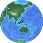
Magnitude 5.8 MORO GULF, MINDANAO, PHILIPPINES
Monday, September 03, 2012 at 06:49:49 UTC
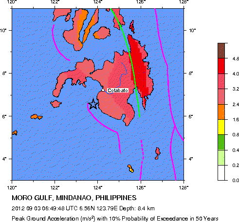
Major Tectonic Boundaries: Subduction Zones -purple, Ridges -red and Transform Faults -green
Global Seismic Hazard Assessment Program -GSHAP
Preliminary Earthquake Report
U.S. Geological Survey, National Earthquake Information Center
World Data Center for Seismology, Denver
